
PLACES, NATURE AND ISLAND HISTORY
Cyprus. Between the sea and the mountains
Discover an island where mountain rocks reveal an ancient ocean, mosaics bring lost cities to life, and village crafts pass from one generation to the next.
PLACES, NATURE AND ISLAND HISTORY
Discover an island where mountain rocks reveal an ancient ocean, mosaics bring lost cities to life, and village crafts pass from one generation to the next.
EXPLORE THE ISLAND
Loading places…
This map is schematic: outlines and marker positions are simplified. It is not a navigation map or an official boundary document. Coordinates may indicate the centre of a site or settlement rather than an entrance or parking area.
Geographical data: © OpenStreetMap contributors · geoBoundaries gbOpen · ODbL 1.0.
The color shows the coverage of five county encyclopedias. Dotted — The border of the Troodos Geopark; it is located in several districts. Gray shows the geographical context of the island.
Geometry: © OpenStreetMap contributors, ODbL 1.0; geoBoundaries / OSM, 2017 for Paphos, Limassol and context. The land of Dhekelia and Akrotiri is complemented by the contours of OpenStreetMap (relationships 3267303 and 3267302); these areas are shown in gray. Coverage of Nicosia, Larnaca and Famagusta — current contours of OpenStreetMap minus the excluded zones, received on October 22, 2026. Geopark range — Geological Survey Department, October 21, 2026.
SIX REGIONS TO EXPLORE
DISTRICT
Museums in the capital, painted churches and mountain valleys.
FAMAGUSTA DISTRICT
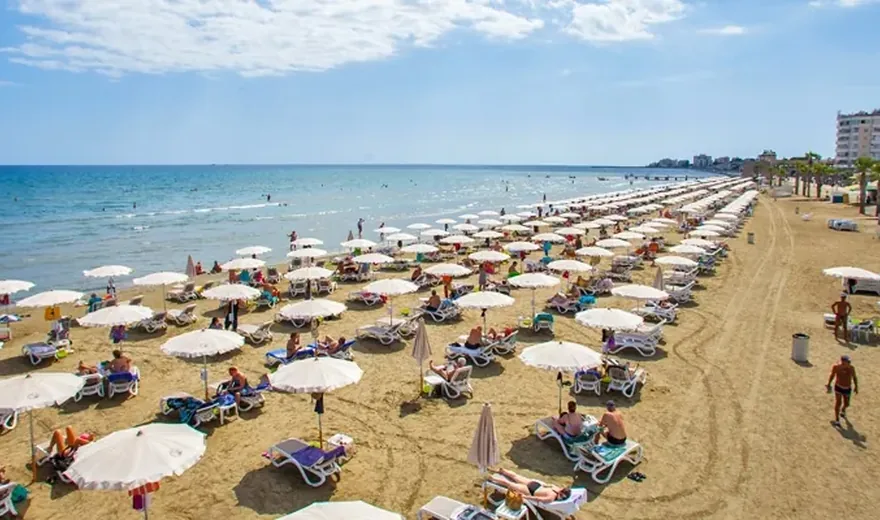
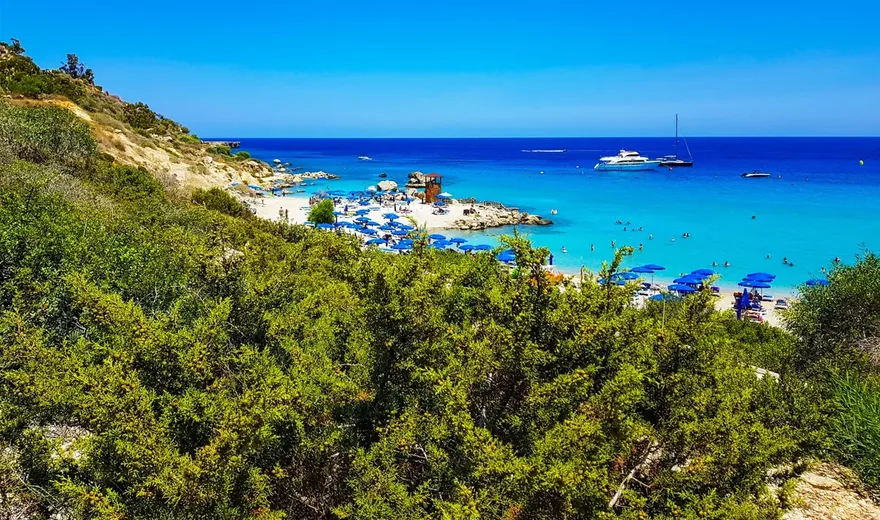
Cape Greco, sandy coves and red earth villages.
History of the island
The mountains of Cyprus hold rocks from an ancient ocean floor. Near the coast, mosaics survive from Roman homes, while village embroiderers keep patterns learned from their mothers and grandmothers alive. These stories connect different parts of the island through stone, everyday life and nature.
The road into Troodos leads into the distant past. The mountains preserve a section of oceanic crust and the Earth’s upper mantle, known to geologists as an ophiolite complex. These rocks formed about 90 million years ago. Tectonic processes later raised them, exposing an ancient ocean floor among the mountain forests. The rocks are far older than the surrounding trees and every human settlement on the island.
This deep history shaped today’s landscape. A forest path, an exposed rock face and a hillside are parts of the same story. Troodos Geopark extends across parts of Paphos, Limassol and Nicosia districts, with the mountains forming a shared natural landscape. Alongside the familiar map of districts, there is another map to discover: the story of how the land formed.
Human history brings us to a different timescale. People lived at Choirokoitia in Larnaca district as early as the 7th millennium BC. Their round houses were built from stone and mudbrick, and several buildings could share a courtyard. Archaeological finds, tools and stone vessels offer glimpses of daily life in a settlement that existed long before the ancient theatres and Roman villas.
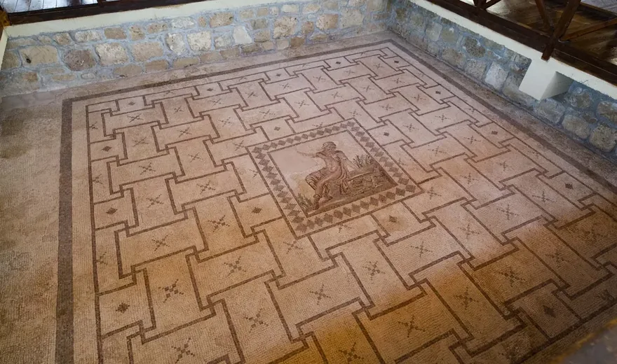
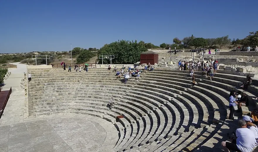
In Paphos, the past lies underfoot. Mosaics once decorated the floors of houses, turning familiar myths into colourful scenes. Figures, animals and ornaments preserve traces of private lives, even where walls and roofs have disappeared. Further along the coast, in Limassol district, the theatre of Kourion reveals a different scale of ancient life. Built in the 2nd century BC and expanded in the 2nd century AD, its stone seating faces the stage and the sea.
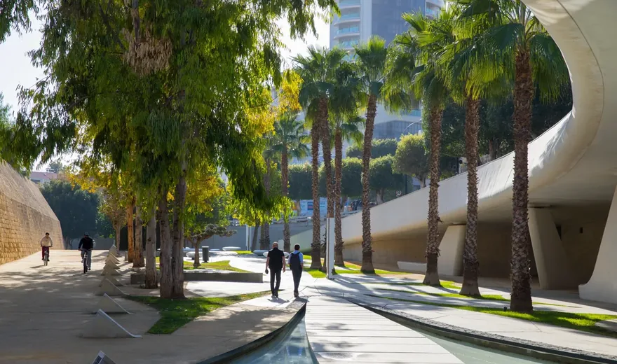
In Nicosia, history continues through the city streets. The old town is enclosed by 16th-century Venetian walls with eleven bastions, whose outline still gives the capital its distinctive shape. In the mountain villages of Nicosia and Limassol districts, small churches preserve another kind of memory. Ten painted churches and monasteries in the Troodos region are on the UNESCO World Heritage List, with murals tracing the development of Byzantine and post-Byzantine art.
Lefkara in Larnaca district preserves the past through delicate embroidery on linen. The tradition of lefkaritika dates back at least to the 14th century and is passed on within families and by experienced embroiderers. In 2009, UNESCO added it to the Representative List of the Intangible Cultural Heritage of Humanity. The craft itself matters: patterns emerge from hand movements that can be taught to the next generation.
At Larnaca’s salt lakes, birds mark the changing seasons. Flamingos arrive mainly in winter, and the length of their stay depends on water levels. A large flock belongs to a particular season; in summer, the same landscape can look very different. Even the familiar name “Salt Lake” refers to a complex of four lakes.
In Ayia Napa and Protaras, the story returns to the sea. Underwater Posidonia meadows are among the important habitats protected by Cyprus’s network of marine protected areas, which includes Cape Greco. Beneath the surface, the island’s life continues. Mountains, archaeological sites, neighbourhoods and shores form a connected story that is still being shaped by people, plants and animals.
Troodos preserves a section of oceanic crust and the Earth’s upper mantle. The rocks of this ophiolite complex formed about 90 million years ago.
Choirokoitia dates from the pre-pottery Neolithic period. Finds from the settlement include stone vessels and tools made from flint and bone.
The Larnaca Salt Lake complex comprises Aliki, Orfani, Soros and Airport Lake. Aliki is the largest of the four.